
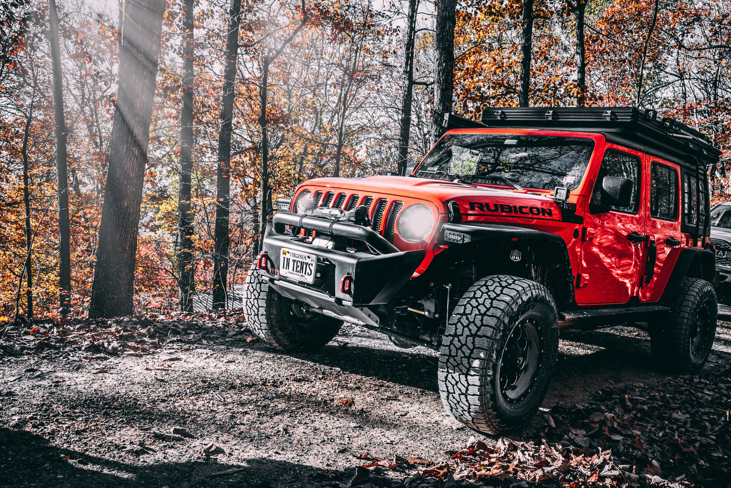
Fall Foliage Expedition in the Blue Ridge Mountains
We recently joined John from Fury Training Concepts and Dean from East Coast Overland Adventures for a weekend expedition to hunt for fall foliage in the Blue Ridge Mountains of southwest Virginia. The trip, which was limited to 10 vehicles, as organized and sold through Blue Ridge Overland Gear — if you are interested in doing a trip like this, keep an eye on their website for future offerings.

Let me say upfront that I cannot disclose all of the details of our trip — specifically our campsites — as those were on private property. However, our route took us past many legal primitive sites in US Forest Service land, so I’ll provide a rough guide to this route for anyone looking to do something similar.
Our trip started Friday night with everyone gathering at our first campsite, located not far from Bedford, Virginia. We arrived just as the sun was setting, giving us a few minutes of remaining dusk to quickly setup camp and start cooking dinner. As the sun set, the temperatures dropped quickly, and soon everyone was gathered near a large bonfire pit socializing and keeping warm.
With everyone settled into camp, John Fury, the leader of the ride, took some time to hold a driver’s meeting — the value of these meetings cannot be overstated. It’s a good chance to review who has what skills, communication tools, recovery equipment, first aid, etc. John also used this as an opportunity to cover some important radio communications procedures; we were going to be using our GMRS radios to talk during the trip, and it was important to establish some baselines for how communication would occur before we started off. After covering the logistics of the trip, we headed back to our Area BFE tent and tucked in for a good night’s sleep.

The next morning everyone got up, broke camp, and filled their bellies with a satisfying breakfast. Ready to roll, we gathered into a convoy and set off. Over the next few hours, we did what most overlanders enjoy doing — we scampered down barely frequented roads enjoying great scenery and thirsting for adventure. I tracked our route using the OnXOffroad app and logged a satisfying 128.6 miles in our route from start to end.

Of course, our day wasn’t just spent driving. We chatted, told jokes, and cut up on the radio. We pulled over to enjoy scenic vistas and enjoyed a lunch break along the tracks of an old railroad station.
For those wishing to create a similar route, follow the below instructions. Note, this route is pretty easy, and any stock vehicle would do just fine on the road.
Start at the intersection of VA State Route 680 and Goose Creek Valley Road (695).
372635N 079407W
Continue along Rt 680 until the road dead ends at Bobblett Gap Road, and turn right (State Route 739).
The road will enter into Jefferson National Forest, putting you on the Bobbletts Gap Trail. This road is open seasonally, from August 1st through January 4th, so plan accordingly. This is a 4.7 mile road with some pot holes, and airing down the tires will lend to a more comfortable and cushy ride. The route will also take you under a stone bridge that crosses below the Blue Ridge Parkway, and crosses the Appalachian Trail. Be on the lookout for hikers and bikers, and remember the rules for yielding!
The road will end at State Route 643 — if you aired down, remember to refill your tires.
Turn right onto Rt 643 (Bobbletts Gap Rd) and continue until you reach Rt 625.
Intersection of 643 and 625: 373010N 0794211W
Follow this road until you dead end at Highway 43 (Parkway Drive), then turn left
The road will take you into the town of Buchanan, VA, which is a quaint little spot. We pulled off near an old rail station and had lunch at the side of the road.
Lunch spot: 373144N 0794040W
After lunch, hop onto Hwy 11 to cross the river, and then make your immediate left back onto Hwy 43. You’ll follow this west, eventually crossing under Interstate 81, until you reach the town of Eagle Rock.
Cross the bridge and get onto Hwy 220, Botetourt Road
Cross over Craig Creek, then take your next left onto Craig Creek Rd, St Route 615. You’ll follow this route for some time as it slowly climbs into Jefferson National Forest. When you arrive at the intersection of St Route 704, turn right.
Intersection of 704 and 615: 373720N 0795849W
You’ll soon enter onto the Lignite Mines Trail, a 2.6 mile gravel road. This road closes in the spring seasonally for a few months, so plan accordingly.
Along this road we found and marked at least one good campsite for overlanding, but there were other decent spots to be found in here too. This is another good spot to consider airing down, as the road has some rough spots. Nothing technical, but some aired down tires will be much more pleasant to drive on!
The trail will dead end at State Rt 617, Barbours Creek Road. Turn left.
As you drive the next mile or so of pavement, keep your eyes open to pass the Pines Campground. This is another good place to consider camping!
At the intersection of Forest Service Road 176, turn right onto the Sweet Springs Turnpike. This is the road that takes you to the Potts Mountain Jeep Trail, so look for signs.
Start of Sweet Springs Turnpike: 373436N 0800634W
This trail is 8.3 miles long, and again, benefits from having your tires aired down. If you aired down on the Lignite Mines Trail, you can stay aired down as you go down Barbours Creek - just be mindful of your speed if your tires are deflated. This trail is open year round.
There are a few trails running in this area, so be on the lookout. When you reach the intersection of the Potts Mountain East Road and Sweet Springs Turnpike, turn left. On the right will be the entrance to the Potts Mountain Jeep Trail, which is far more technical than this route.
The route concludes when you reach Highway 311 / Paint Bank Road. Prior to that, there are more campsites to be found, so if you are spending the night, be on the lookout.
Our trip concluded with a short drive to our campsite, which was again located on private property. We had the express permission to camp there— please do not stay on private property unless you have received permission from the property owner to do so.


If you are interested in joining a future ride, then check out the Blue Ridge Overland Gear website and watch their blog for notices of future events. Likewise, give John Fury at Fury Training Concepts a visit and consider some training with him.